1982 Air Photos - Bitterwater
sketchfab
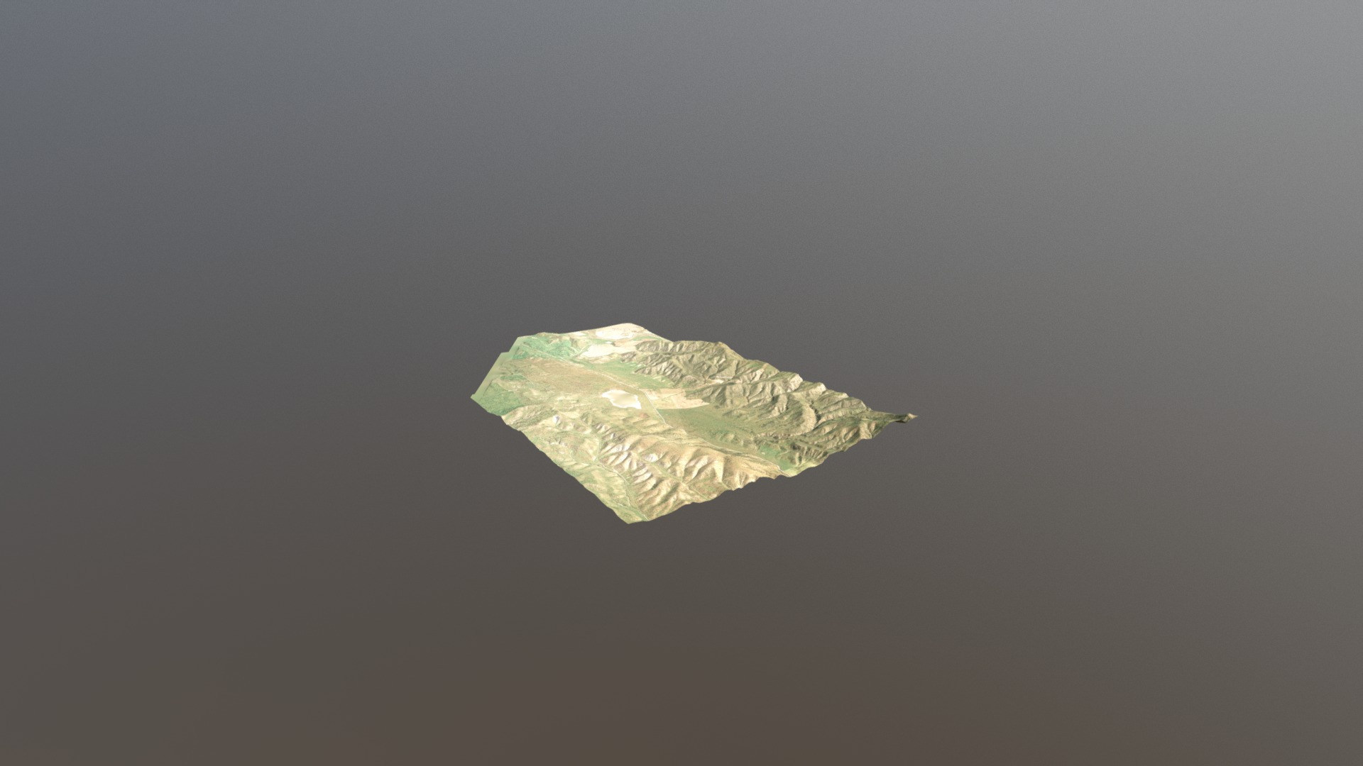
This is a DEM derived from high-resolution scans of air photos collected in 1982. For this early test, I used locations derived from Google Earth as ground control. The vegetation classification parameters used also cropped off the top of a few ridgelines.
Download Model from sketchfab
With this file you will be able to print 1982 Air Photos - Bitterwater with your 3D printer. Click on the button and save the file on your computer to work, edit or customize your design. You can also find more 3D designs for printers on 1982 Air Photos - Bitterwater.