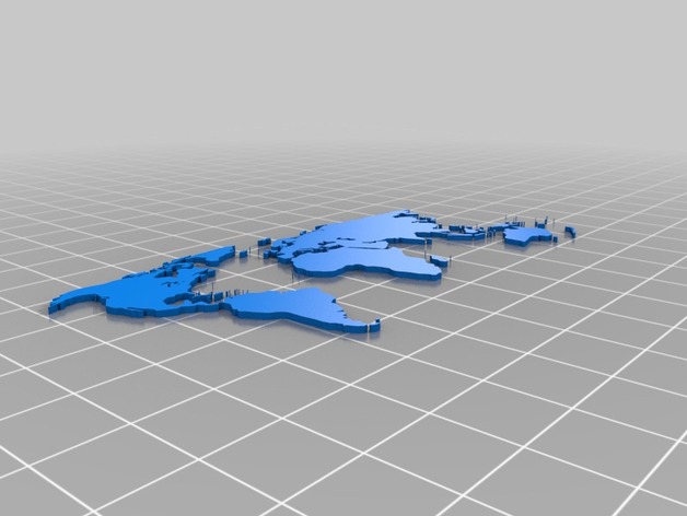
3 D printable World map, excluding Antartica.
thingiverse
I used Generated by trace2scad version 20150415 with some smal small modifications applied manually and commented some major areas. Used http://aggregate.org/MAKE/TRACE2SCAD/ as the tracing tool Since you have the OpenSCAD file you can integrate it into other designs. The base design is 100 mm x 50 mm. Seems like Hawii islands are missing. Sorry Hawaii. Fair warning: When I render this file in OpenSCAD, is render really fast but when I render it as a cutout from a rectangle, rendering becomes impossibly slow.
With this file you will be able to print 3 D printable World map, excluding Antartica. with your 3D printer. Click on the button and save the file on your computer to work, edit or customize your design. You can also find more 3D designs for printers on 3 D printable World map, excluding Antartica..