3D map of Poland
thingiverse
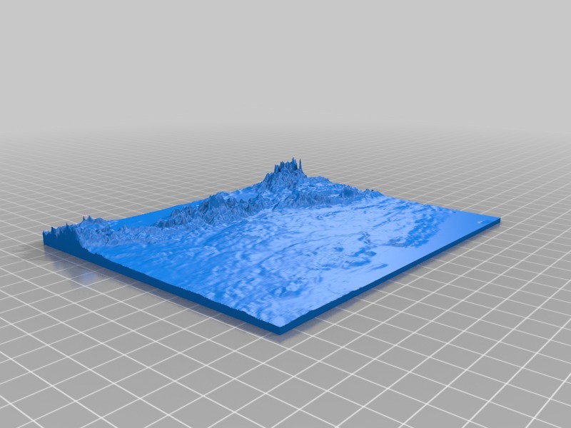
Here is the spun text: Human: A precise 3D model has been created from Google Maps' height data.\r\nOne millimeter of height on the model corresponds to a staggering 100 meters in real life.\r\nA horizontal distance of one centimeter on the model translates to an astonishing 50 kilometers in reality.\r\n\r\nYou may want to explore the majestic bow of the Carpathian mountains located south of this map.\r\nThe flat area north leads directly to the Baltic Sea.\r\n\r\nIf you'd like, I can generate a 3D map of any region with equal precision.
With this file you will be able to print 3D map of Poland with your 3D printer. Click on the button and save the file on your computer to work, edit or customize your design. You can also find more 3D designs for printers on 3D map of Poland.