3D map of Switzerland
thingiverse
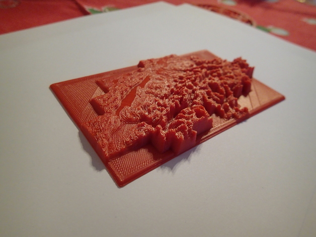
Altimetric map of Switzerland. Data taken from the free dataset DHM200 Source: Swiss Federal Office of Topography. Distributed in compliance with the license point 5h: "Publication of data on the Internet as single static image or within a viewing service, up to a maximum of 500,000 pixels for the purpose of providing information" Please retain the above notice in all derivative works. STL generated with Matlab using surf2solid (Matthew Roughan, http://www.mathworks.com/matlabcentral/fileexchange/30709) and surf2stl (Bill McDonald, http://www.mathworks.com/matlabcentral/fileexchange/4512-surf2stl) Instructions Print and enjoy :) The "smooth" version of the stl was generated with a Laplacian smoothing in Meshlab and looks better IMO. The plain version represents the original data subsampled to a 2km grid.
With this file you will be able to print 3D map of Switzerland with your 3D printer. Click on the button and save the file on your computer to work, edit or customize your design. You can also find more 3D designs for printers on 3D map of Switzerland.