Acunit
sketchfab
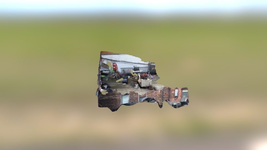
Photogrammetric mapping of a site is achieved through the analysis of multiple photographs taken from different vantage points. This process involves the use of specialized software to calculate precise coordinates and elevations based on the overlapping images. The technique allows for accurate topographic surveys without the need for extensive fieldwork or traditional surveying methods.
Download Model from sketchfab
With this file you will be able to print Acunit with your 3D printer. Click on the button and save the file on your computer to work, edit or customize your design. You can also find more 3D designs for printers on Acunit.