Adirondack High Peak Map
thingiverse
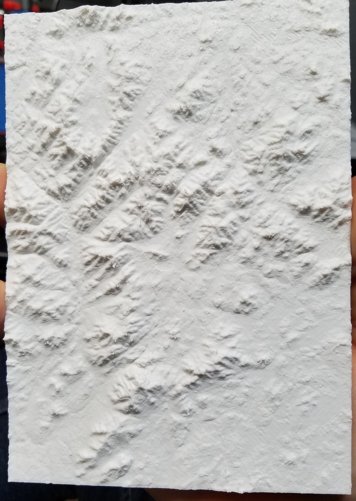
High Peak map of the region in the Adirondacks. Map to envelop the 46 high peaks. Created using Terrain2STL (http://jthatch.com/Terrain2STL/). You may need to scale the x/y to fit your print bed, but z is adequate. The elevation scale is 2:1 already, so some scaling error will occur, but I found this to be the best for printing. I printed a thicker infill (70%) to help avoid some issues with gaps showing in the terrain. I plan on marking my routes I've taken on the peaks. I showed the approximate range in the photo. The plate is bordered in the south by Route 87, to the east by I-87, to the north just north of Esther, and the West by the Seward Range. All 46 peaks should be in there.
With this file you will be able to print Adirondack High Peak Map with your 3D printer. Click on the button and save the file on your computer to work, edit or customize your design. You can also find more 3D designs for printers on Adirondack High Peak Map.