Aerial texture 271 Texture
cgtrader
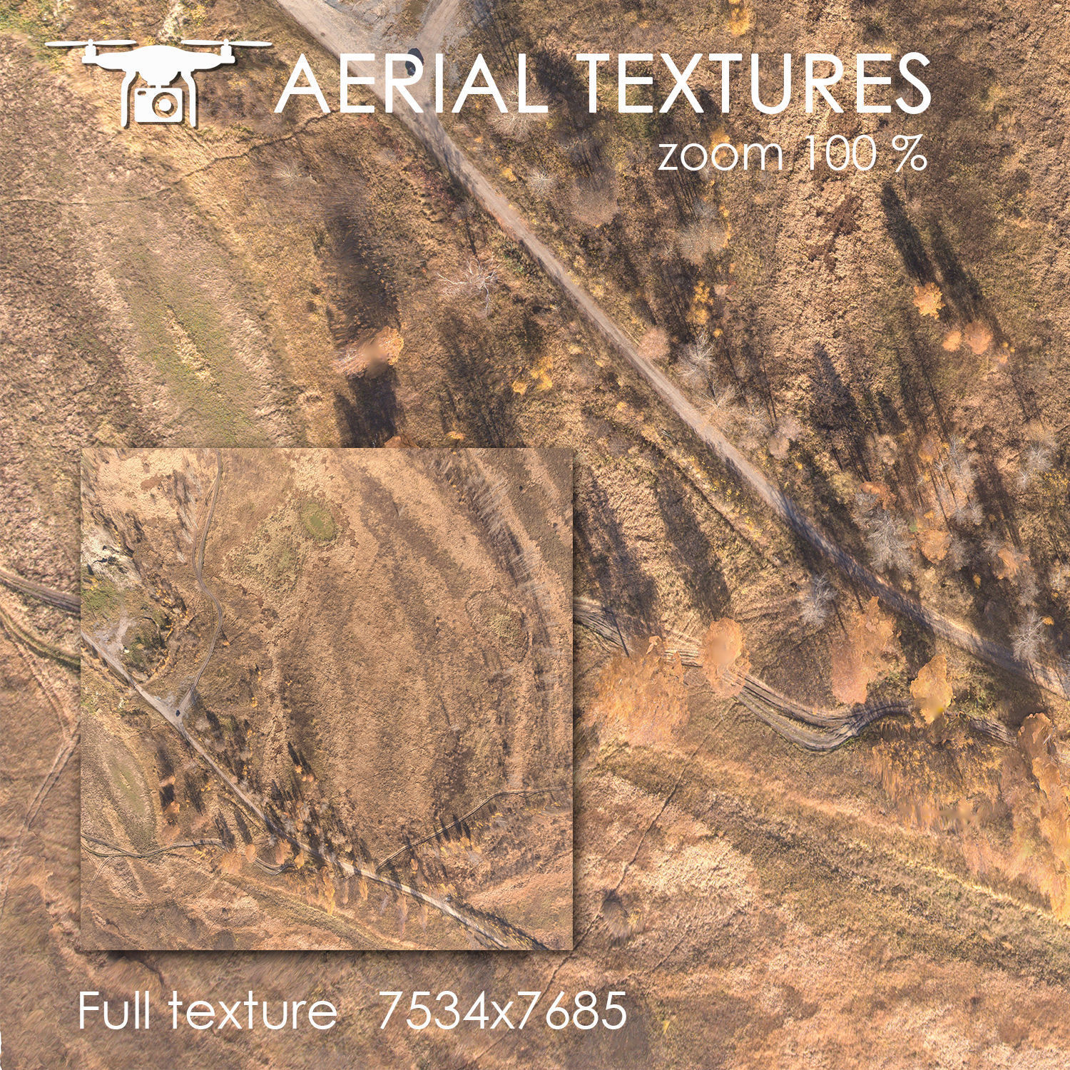
Real-world imagery captured from an altitude of 60 meters defines the intricate topography, generated through quadcopter surveillance. This precise high-resolution map combines hundreds of detailed photographs to render a comprehensive and immersive environment. Its rich tapestry boasts numerous distinguishing characteristics and geological features found in actual landscapes. Included formats are Archive: Terrain - (1. 4096x2048, 2. MAX2014 with VRay, 3. FBX Model, 4. Material Library, 5. MTL Surface Files)
With this file you will be able to print Aerial texture 271 Texture with your 3D printer. Click on the button and save the file on your computer to work, edit or customize your design. You can also find more 3D designs for printers on Aerial texture 271 Texture.