Arecibo
thingiverse
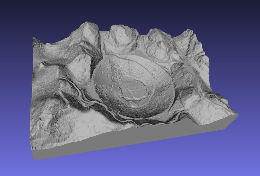
Arecibo constructed using 1 meter resolution LiDAR data from NOAA. Notice that the LASER makes it through the screen reflector except for some of the outer edges where the angle is steep and therefore it hits just screen. Because of this you can see the access road that travels underneath the reflector. This map has about 1.3 million facets/polygons. I made this using new software I wrote for processing LiDAR data.
Download Model from thingiverse
With this file you will be able to print Arecibo with your 3D printer. Click on the button and save the file on your computer to work, edit or customize your design. You can also find more 3D designs for printers on Arecibo.