Bathymetric Map of Lake Michigan
thingiverse
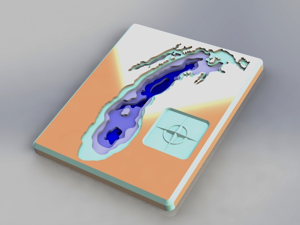
This is a Bathymetric Map of Lake Michigan. The STL files are split into 4 parts such that I can print on my 8" x 8" print bed. I plan to print this then paint the landscape and depth surfaces similar to the colors shown in the rendering.
Download Model from thingiverse
With this file you will be able to print Bathymetric Map of Lake Michigan with your 3D printer. Click on the button and save the file on your computer to work, edit or customize your design. You can also find more 3D designs for printers on Bathymetric Map of Lake Michigan.