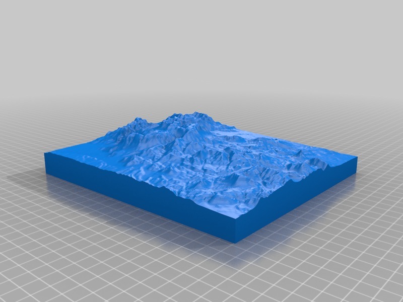
Big Bend NP Rim Trail location elevation map
thingiverse
I marked this area off a website called "trail to STL" and printed it out after my dad and I did the rim trail in 2018.
Download Model from thingiverse
With this file you will be able to print Big Bend NP Rim Trail location elevation map with your 3D printer. Click on the button and save the file on your computer to work, edit or customize your design. You can also find more 3D designs for printers on Big Bend NP Rim Trail location elevation map.