C1606 Itea: Gla
sketchfab
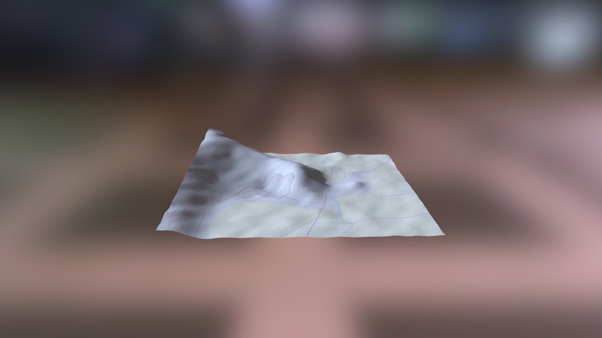
Link: helladic.info \n Data provided by the Myceanean Atlas Project \n Generated using the DEM (Digital Elevation Model) Net Elevation API \n Terrain elevation data sourced from NASA's NASADEM dataset \n Additional data obtained from OpenStreetMap contributors at www.openstreetmap.org \n Imagery courtesy of ThunderForest
Download Model from sketchfab
With this file you will be able to print C1606 Itea: Gla with your 3D printer. Click on the button and save the file on your computer to work, edit or customize your design. You can also find more 3D designs for printers on C1606 Itea: Gla.