CA San Andreas map
thingiverse
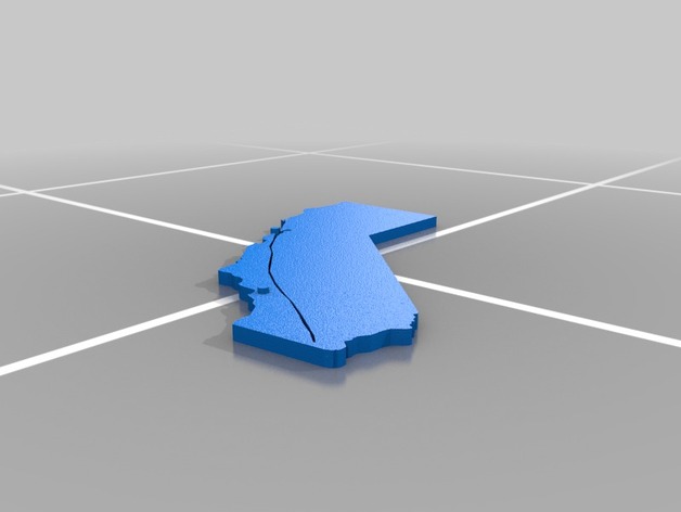
This map was designed with a recessed line to represent the San Andreas fault so students could see the locations of activity and relative position to cities. I am open to improvements and would love to see a remix that actually includes topographical information. Instructions This was designed in Google Sketch-up 2014 by importing a line drawing of the object from a middle school science handout (no attribution), then tracing the lines and leveling out the model to be tactually evident. A great deal of proofing was done after several prints to ensure closure and printing would produce a solid model.
With this file you will be able to print CA San Andreas map with your 3D printer. Click on the button and save the file on your computer to work, edit or customize your design. You can also find more 3D designs for printers on CA San Andreas map.