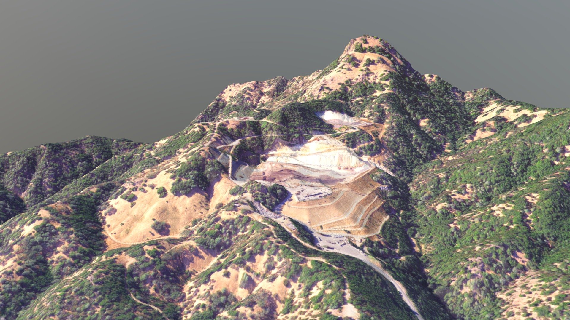
Clover Flat Landfill LiDAR Map V2 - 15x15
sketchfab
Clover Flat Landfill Topographic Mapping System Version 2.0: A High-Resolution, 1:5,000 Scale Digital Elevation Model Featuring a 1.25 Times Vertical Amplification Factor for Enhanced Visual Representation.
Download Model from sketchfab
With this file you will be able to print Clover Flat Landfill LiDAR Map V2 - 15x15 with your 3D printer. Click on the button and save the file on your computer to work, edit or customize your design. You can also find more 3D designs for printers on Clover Flat Landfill LiDAR Map V2 - 15x15.