Contiguous United States Prism Map
thingiverse
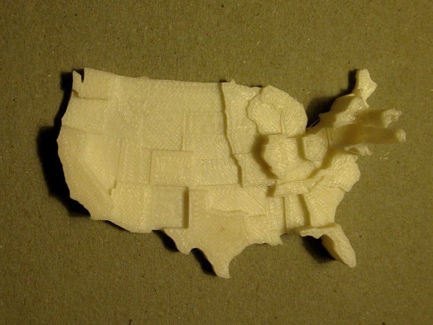
This is a customizable prism map of the contiguous United States. Values are represented by the extruded height of each state. (An extruded polygon is a prism.) The default dataset depicts population density: 2010 census total population counts normalized by state area in square kilometers. Click Open in Customizer to plug in your own data for each state and to adjust the model dimensions. Create your own customizable prism map models from shapefiles without ease using prismap. Pull requests and bug reports are welcome. Instructions Printed with raft (still attached in some photos), 10% infill, 2 shells, and 0.15mm layer height. Printed version customized with floor disabled and slightly smaller dimensions than default.
With this file you will be able to print Contiguous United States Prism Map with your 3D printer. Click on the button and save the file on your computer to work, edit or customize your design. You can also find more 3D designs for printers on Contiguous United States Prism Map.