Devil's Lake Bathymetric Map (laser cut layers)
thingiverse
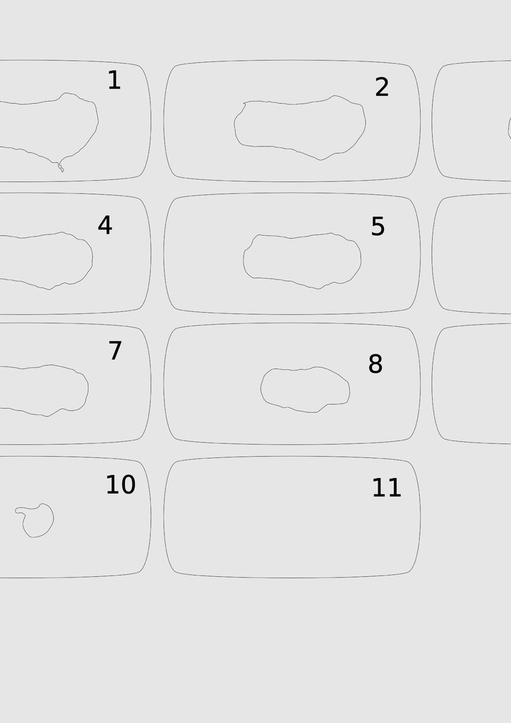
This is a bathymetric map of Devil's Lake near Baraboo, Wisconsin. It was formed by a fascinating set of geologic forces, including sedimentation and glaciation (https://dnr.wi.gov/topic/parks/name/devilslake/geology.html). This model can be used for a variety of purposes in classrooms, including demonstrating lake measurements and descriptions and lake origin discussions. I use similar models of several different lakes throughout the Midwest in an upper-level undergraduate course.
With this file you will be able to print Devil's Lake Bathymetric Map (laser cut layers) with your 3D printer. Click on the button and save the file on your computer to work, edit or customize your design. You can also find more 3D designs for printers on Devil's Lake Bathymetric Map (laser cut layers).