Done Remote Sensing app in forest
sketchfab
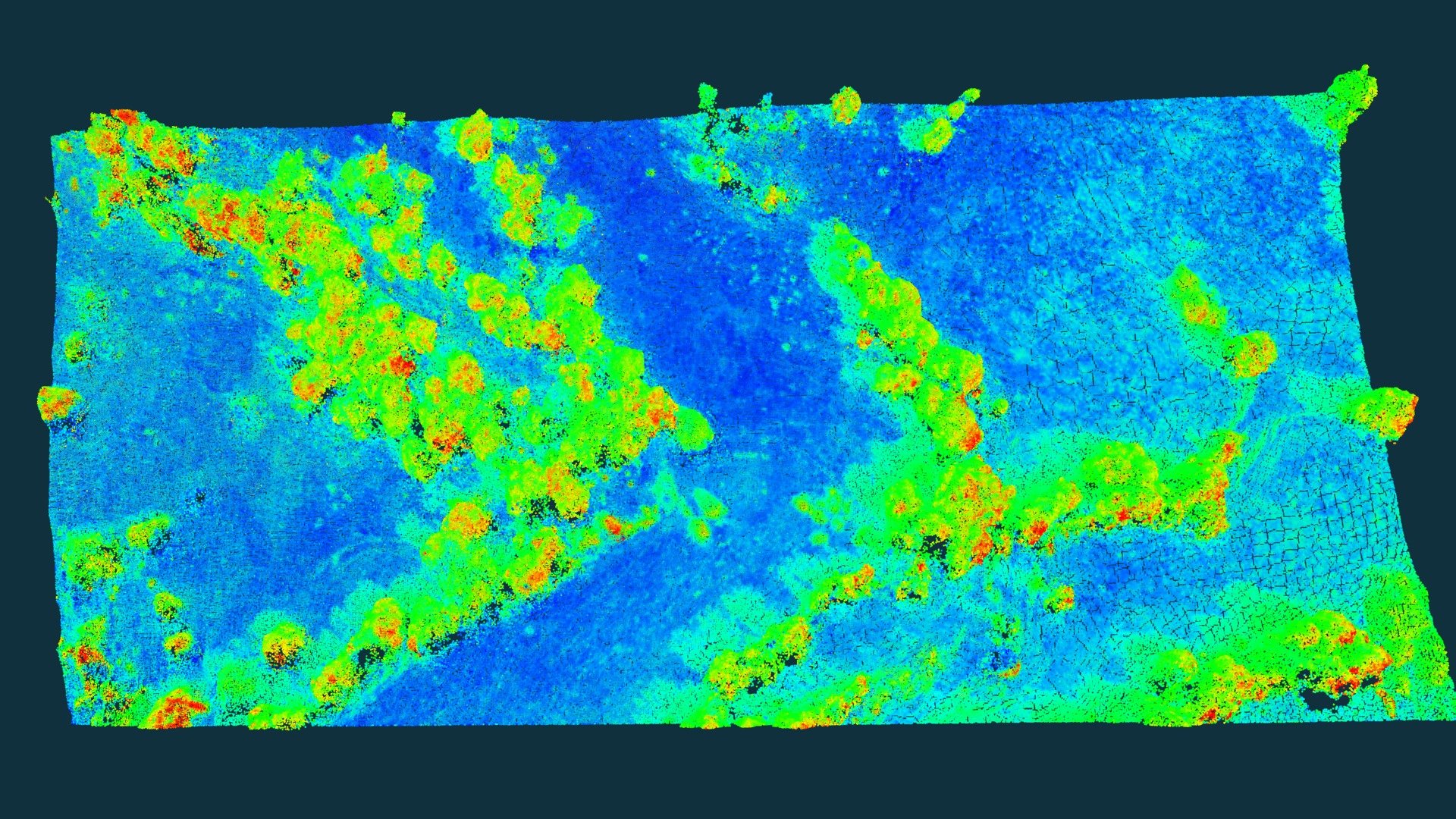
Model created from aerial images taken by drone of a scattered forest. Red points represent trees, while blue points signify soil and bedrock conglomerates. This classification of points using a simple vegetation index RGB enables accurate categorization of trees within geographic information systems or CAD software prior to data importation.
Download Model from sketchfab
With this file you will be able to print Done Remote Sensing app in forest with your 3D printer. Click on the button and save the file on your computer to work, edit or customize your design. You can also find more 3D designs for printers on Done Remote Sensing app in forest.