Earth Land and Sea Relief Globe
thingiverse
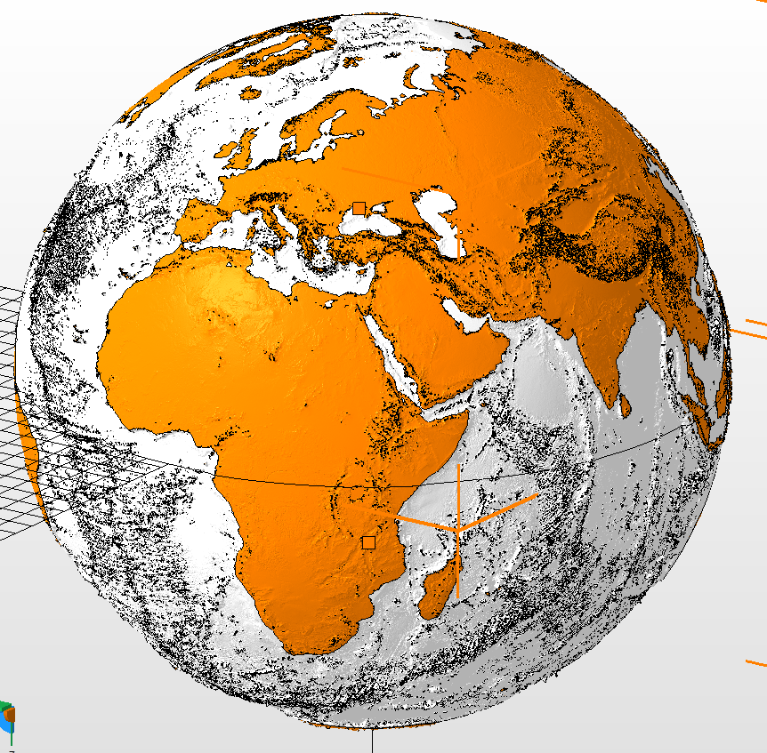
This is an exaggerated elevation relief globe of the Earth, with the land masses separated from the sea floor for printing in different colors. The scale is 1:50,000,000 and resolution is approximately 0.3 mm / 15 km in the horizontal direction. The elevation is exaggerated 24x to make the relief perceptible at this scale. At present the division between land and sea is based solely on sea level, so bodies of water whose surfaces are above sea level (like the Great Lakes) or below sea level (like the Caspian sea) do not have their correct boundaries. I've excluded many small islands from the land model because they would be impractical to print. I may need to remove more islands and clean up low-lying coastlines (e.g. Southern Florida, the Netherlands, and parts of South-East Asia). I've included files for the northern and southern hemispheres without the split between land and sea. These are minimally modified from files originally uploaded by chhu. This is a work in progress and I don't currently have access to a multi-color printer to test it out. Any suggested improvements are welcome!
With this file you will be able to print Earth Land and Sea Relief Globe with your 3D printer. Click on the button and save the file on your computer to work, edit or customize your design. You can also find more 3D designs for printers on Earth Land and Sea Relief Globe.