Fayetteville Topo Map 3D
sketchfab
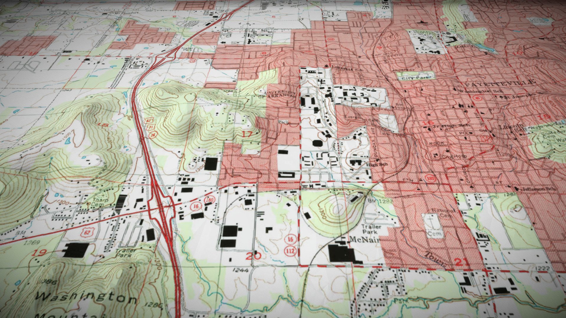
A quick 3D version of a topo map from the Fayetteville, Arkansas area. Created in Blender. The topographic map was downloaded from USGS TopoView, and the elevation data is clipped from 1/3 arc-second DEM data availalbe for download from The National Map. The geospatial data was edited with QGIS and combined into a finished model with Blender.
Download Model from sketchfab
With this file you will be able to print Fayetteville Topo Map 3D with your 3D printer. Click on the button and save the file on your computer to work, edit or customize your design. You can also find more 3D designs for printers on Fayetteville Topo Map 3D.