Fotogrametría con drones Torata
sketchfab
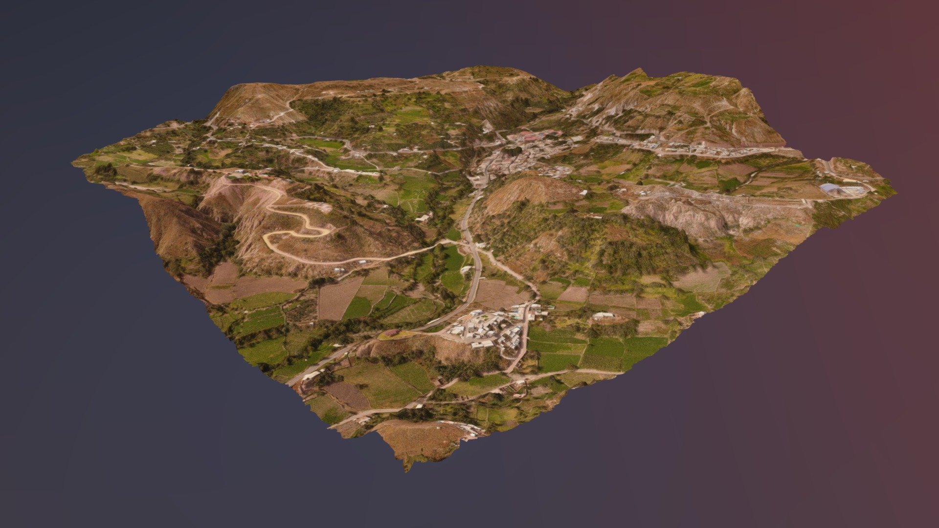
Servicio de fotogrametría aérea con drones en la zona urbana del distrito de Torata. Altura de vuelo: 250 m (Adapatativo) Velocidad de desplzamiento: 10 m/s Traslape longitudinal: 75% Traslape lateral: 75% GSD: 8 cm/pix GCP (Ground Control Point): 9 Checkpoint: 4
Download Model from sketchfab
With this file you will be able to print Fotogrametría con drones Torata with your 3D printer. Click on the button and save the file on your computer to work, edit or customize your design. You can also find more 3D designs for printers on Fotogrametría con drones Torata.