Geotechnical Engineering Visualization
sketchfab
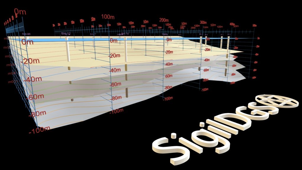
Fictitious data visualizations are often created using real-world methods, one such technique involves drilling boreholes into the earth to collect core samples that reveal the depth of various strata. This information can be used to create detailed representations of geological layers.
Download Model from sketchfab
With this file you will be able to print Geotechnical Engineering Visualization with your 3D printer. Click on the button and save the file on your computer to work, edit or customize your design. You can also find more 3D designs for printers on Geotechnical Engineering Visualization.