Grand Canyon - Bright Angel Point | Terrain Map
thingiverse
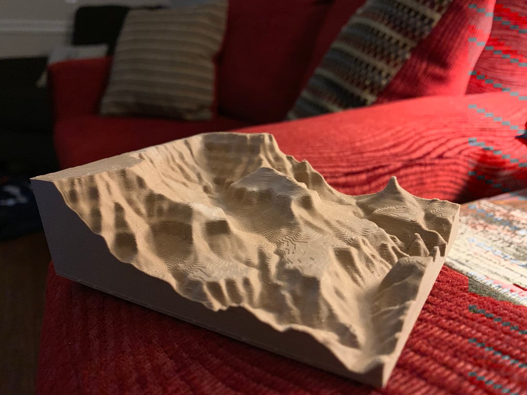
A fairly quick* print of Bright Angel Trail on the South Rim of the Grand Canyon (including Plateau Point). The trail head elevation is at 6,850 feet above sea level, and plateau point is a 6 mile hike down the trail dropping to 3,740 feet. If interested, let me know and I'll add a new image labeling different points in the trail. Went on a road trip from Mississippi to the Grand Canyon and proposed there (on plateau point) to my now wife! Official NPS Trail Info: https://www.nps.gov/grca/planyourvisit/upload/brightangeltrail.pdf Printing Terrain Maps: https://imperialterrain.com/blogs/news/the-imperials-3d-printer-settings *3.5 hours at 60mm/s and .32 and 7.5 hours at .2 were the two approximate times I had.
With this file you will be able to print Grand Canyon - Bright Angel Point | Terrain Map with your 3D printer. Click on the button and save the file on your computer to work, edit or customize your design. You can also find more 3D designs for printers on Grand Canyon - Bright Angel Point | Terrain Map.