Great Lakes Depth Maps
thingiverse
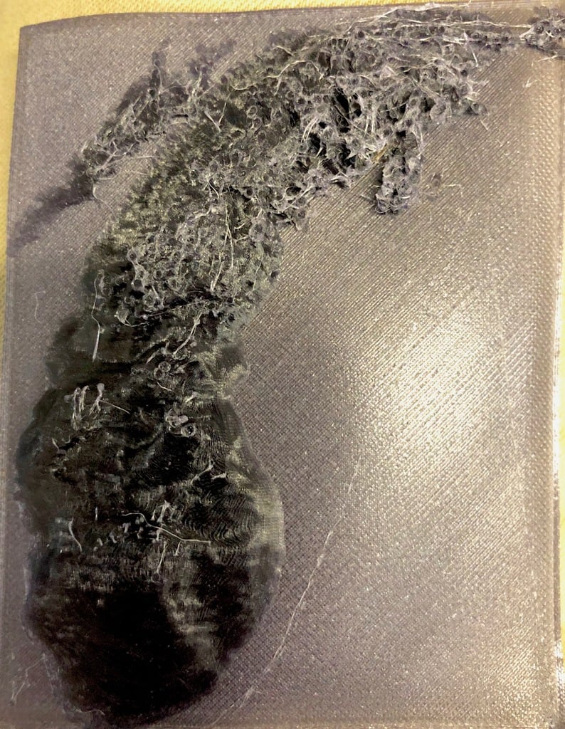
These are 1:25,000 scale inverse depth maps of the Great Lakes (Minus Superior as the dataset is incomplete) made from publicly available data accessed from https://www.ngdc.noaa.gov/mgg/greatlakes/ . I used my own python script to translate the csv data into stl form and then touched up the files in Blender and Meshlab for proper scaling. By inverse depth maps, I mean that the height of the model is proportional to the depth of the lake at that point. It is as though the depth profile was mirrored across the surface of the lake. (I know Cura has a mirroring option available if anyone desires to print a true depth profile for these models. Just mirror across the flat base.). There might be some small features that won't print well on the lone lake models but could be better represented by the models with bases. I have successfully printed the Lake Michigan model with the base out of nylon (This left a lot of strings). I suspect PLA might be a better material to print with.
With this file you will be able to print Great Lakes Depth Maps with your 3D printer. Click on the button and save the file on your computer to work, edit or customize your design. You can also find more 3D designs for printers on Great Lakes Depth Maps.