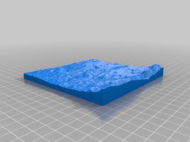
Guildford topographical model
thingiverse
A 3D model of the terrain between Woking and Guildford. With Woking at the top and Guildford at the bottom It was created using Terrain2STL; A web-based service that converts publicly available HGT files to useful STL files
Download Model from thingiverse
With this file you will be able to print Guildford topographical model with your 3D printer. Click on the button and save the file on your computer to work, edit or customize your design. You can also find more 3D designs for printers on Guildford topographical model.