Iberia Mountains - A 3D topography map
thingiverse
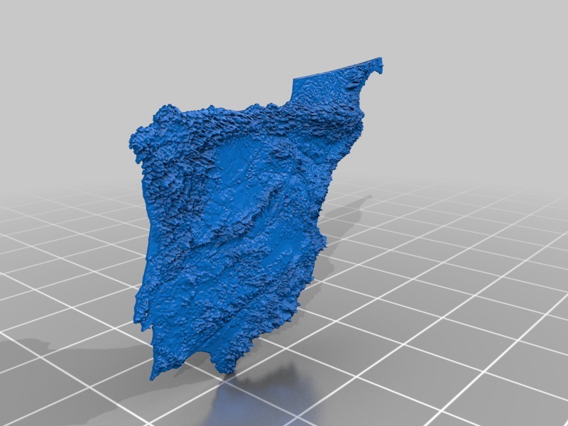
This project came to life as a result of a friend's challenge that evolved into a gift project... I'm confident the owner will be thrilled with the outcome. Congratulations! The source data for this design originates from the USGS database, utilizing SRTM 1-arcsec resolution digital elevation maps, which were later resampled to approximately 4x4km. The topography was transformed and projected using a polynomial fit adjustment (equation visible in the images) to achieve a height measurement in centimeters, thereby maximizing topographic observation at small scales. This project is specifically tailored for mountain and map enthusiasts. The software utilized for this creation includes: ArcGIS Meshmixer MeshLab Excel I hope you find it enjoyable!
With this file you will be able to print Iberia Mountains - A 3D topography map with your 3D printer. Click on the button and save the file on your computer to work, edit or customize your design. You can also find more 3D designs for printers on Iberia Mountains - A 3D topography map.