Ireland Terrain
sketchfab
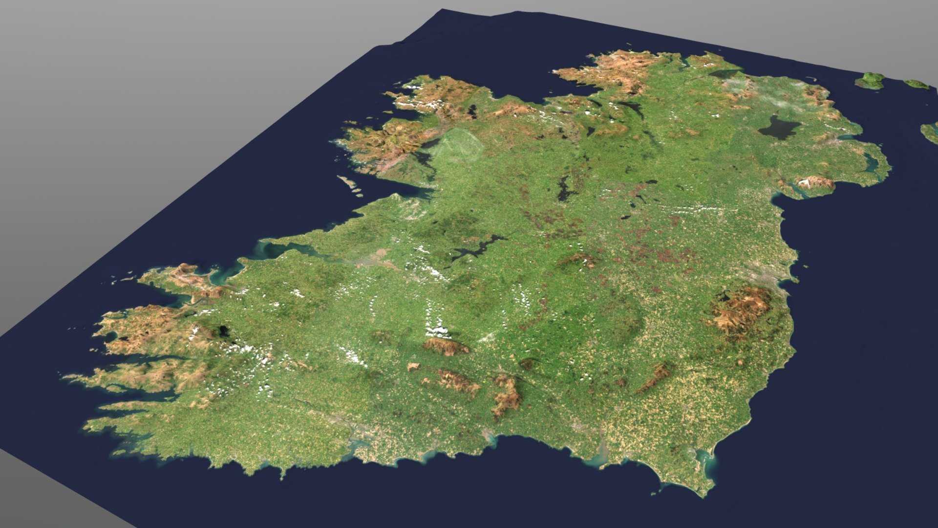
Ireland digital elevation model Source: https://elevationapi.com/playground_3dbbox DEM: Global Low Res Covreage with Bathymetry (ETOPO1) 1k resolution Imagery Provider: Esri.WorldImagery Z Multiplier: x10 Attribution: © Tiles © Esri - Source: Esri, i-cubed, USDA, USGS, AEX, GeoEye, Getmapping, Aerogrid, IGN, IGP, UPR-EGP, and the GIS User Community
Download Model from sketchfab
With this file you will be able to print Ireland Terrain with your 3D printer. Click on the button and save the file on your computer to work, edit or customize your design. You can also find more 3D designs for printers on Ireland Terrain.