Keweenaw Peninsula
thingiverse
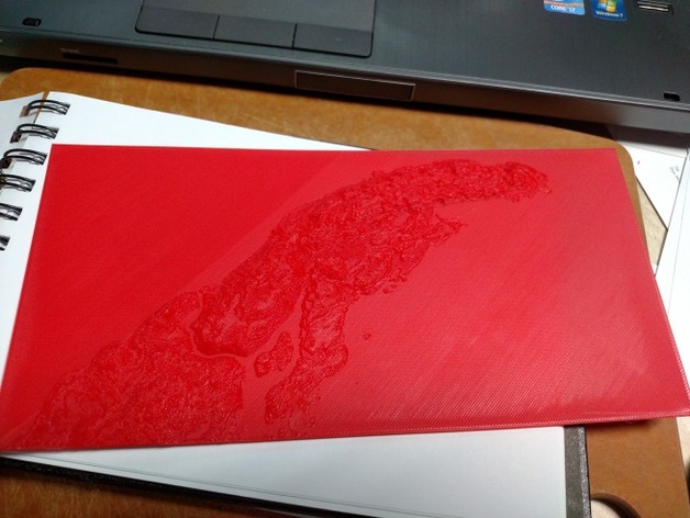
Home to Michigan Tech and its many wandering students. This is a topographic layout that is correct in X/Y scale but is a little off in Z to make for better printing. I will post the whole data source and tool chain used once I get a break from work. This has a 4mm base thickness which I plan on using for a display piece. This extra bulk can be cut off using a tool like Cura's "Cut off object bottom". Things to do: Add compass rose Labels for MTU and places of interest Separation of land and water for dual color print Down-sample for smaller files. See note below. NOTE: This is a HUGE file. I have left the original SRTM-1 data mostly intact. This is (I believe) 1 Arc-second in resolution, approximately 30m accuracy. I will post a first print later. Update 1: First print is done. Check out Instructions for a couple lessons learned. Instructions In order to get the 'water' correct and properly flat you will need several layers in your 'top/bottom' setting as well as a fairly dense infill to prevent drooping when the print gets to the edges of any 'land'. For my test print I used .2mm layers and went for 100% infill. Printing at full size (~240mm wide) it took a little more than 4 hours for me. Note: Due to the low height of several features like Manitou Island may be skipped in the slicing process. You can catch this if you review your layers very carefully before printing (I didn't). To fix this, adjust your layer height down - OR - adjust the "Cut off bottom" value to fudge the height a little until the feature you want appears.
With this file you will be able to print Keweenaw Peninsula with your 3D printer. Click on the button and save the file on your computer to work, edit or customize your design. You can also find more 3D designs for printers on Keweenaw Peninsula.