Lake George 3d map
thingiverse
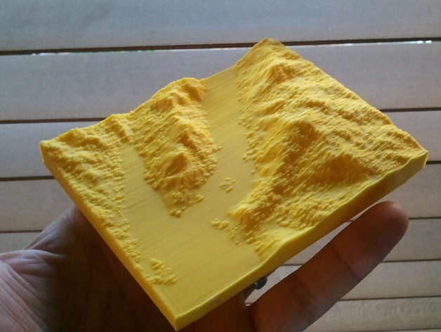
Lake George, NY, narrows region Created using a free program called Maperitive, which downloads elevation data from the open street map project. I then import the models into sketchup and do some post processing in meshlab and netfabb. Instructions I like to print these on edge.
Download Model from thingiverse
With this file you will be able to print Lake George 3d map with your 3D printer. Click on the button and save the file on your computer to work, edit or customize your design. You can also find more 3D designs for printers on Lake George 3d map.