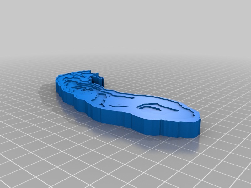
Lake Michigan Bathymetric Map
thingiverse
This is a bathymetric map of Lake Michigan as designed from the NOAA maps. The file is a little simplified and reflects a 20m difference in the layers.
Download Model from thingiverse
With this file you will be able to print Lake Michigan Bathymetric Map with your 3D printer. Click on the button and save the file on your computer to work, edit or customize your design. You can also find more 3D designs for printers on Lake Michigan Bathymetric Map.