Lake Tahoe Height Map
thingiverse
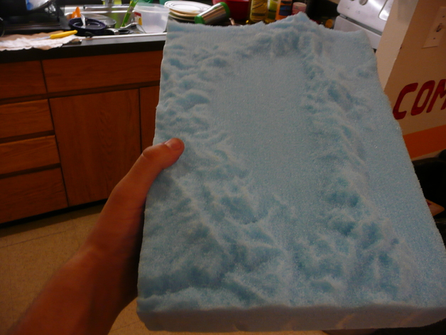
The Lake Tahoe area is illustrated in a 3D height map, derived from SRTM elevation data sourced via OpenTopography.org. This information was transformed into a greyscale image before using heightmap2stl, created by mfussi, to generate an STL file. The finished product, crafted on a shopbot employing a 1/4" ball endmill, measures 9"x13".
Download Model from thingiverse
With this file you will be able to print Lake Tahoe Height Map with your 3D printer. Click on the button and save the file on your computer to work, edit or customize your design. You can also find more 3D designs for printers on Lake Tahoe Height Map.