LEGO Türkiye Haritası
sketchfab
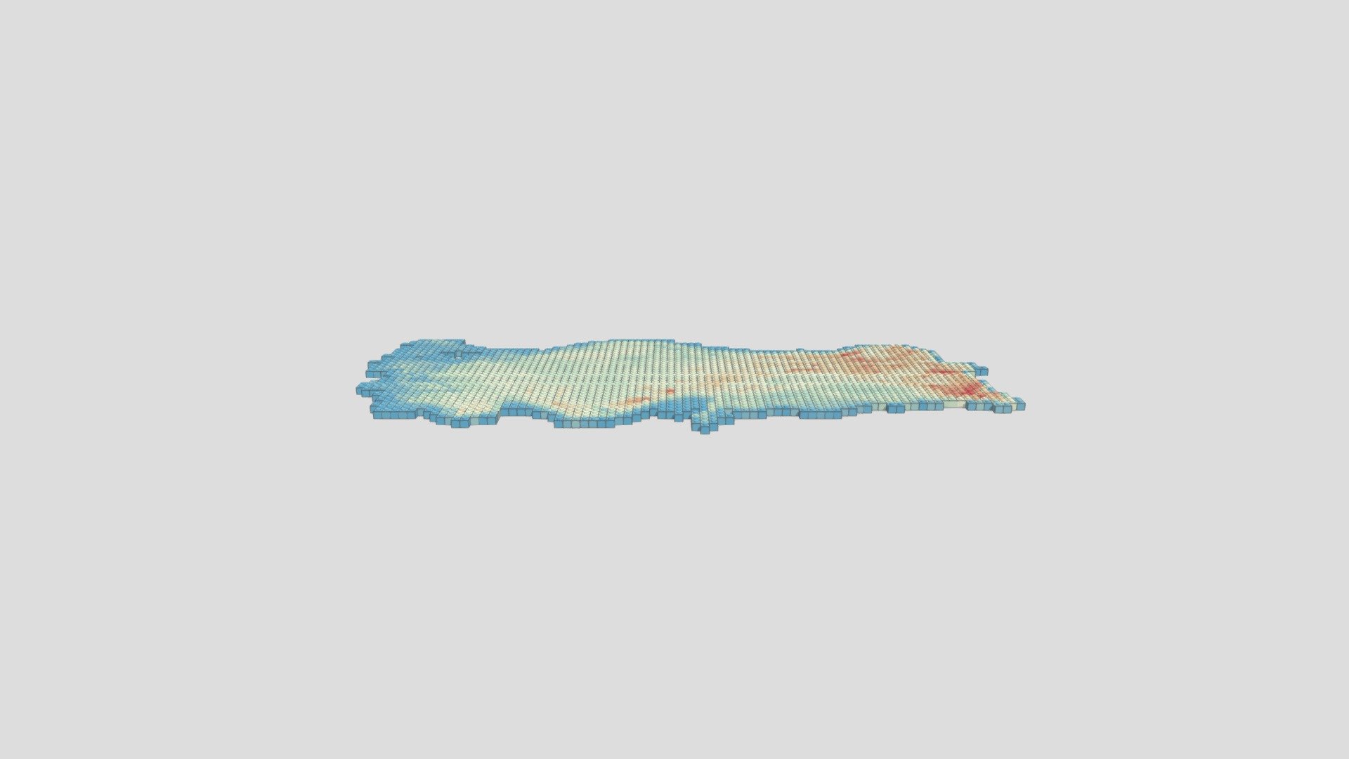
Coğrafi Bilgi Sistemleri LEGO ile buluştu. QGIS ile gerçek Dijital Yükseklik Modeli esas alınarak hazırlanan model, Qgis2threejs eklentisi ile 3D model olarak dışarı aktarıldı.
Download Model from sketchfab
With this file you will be able to print LEGO Türkiye Haritası with your 3D printer. Click on the button and save the file on your computer to work, edit or customize your design. You can also find more 3D designs for printers on LEGO Türkiye Haritası.