Leigh
sketchfab
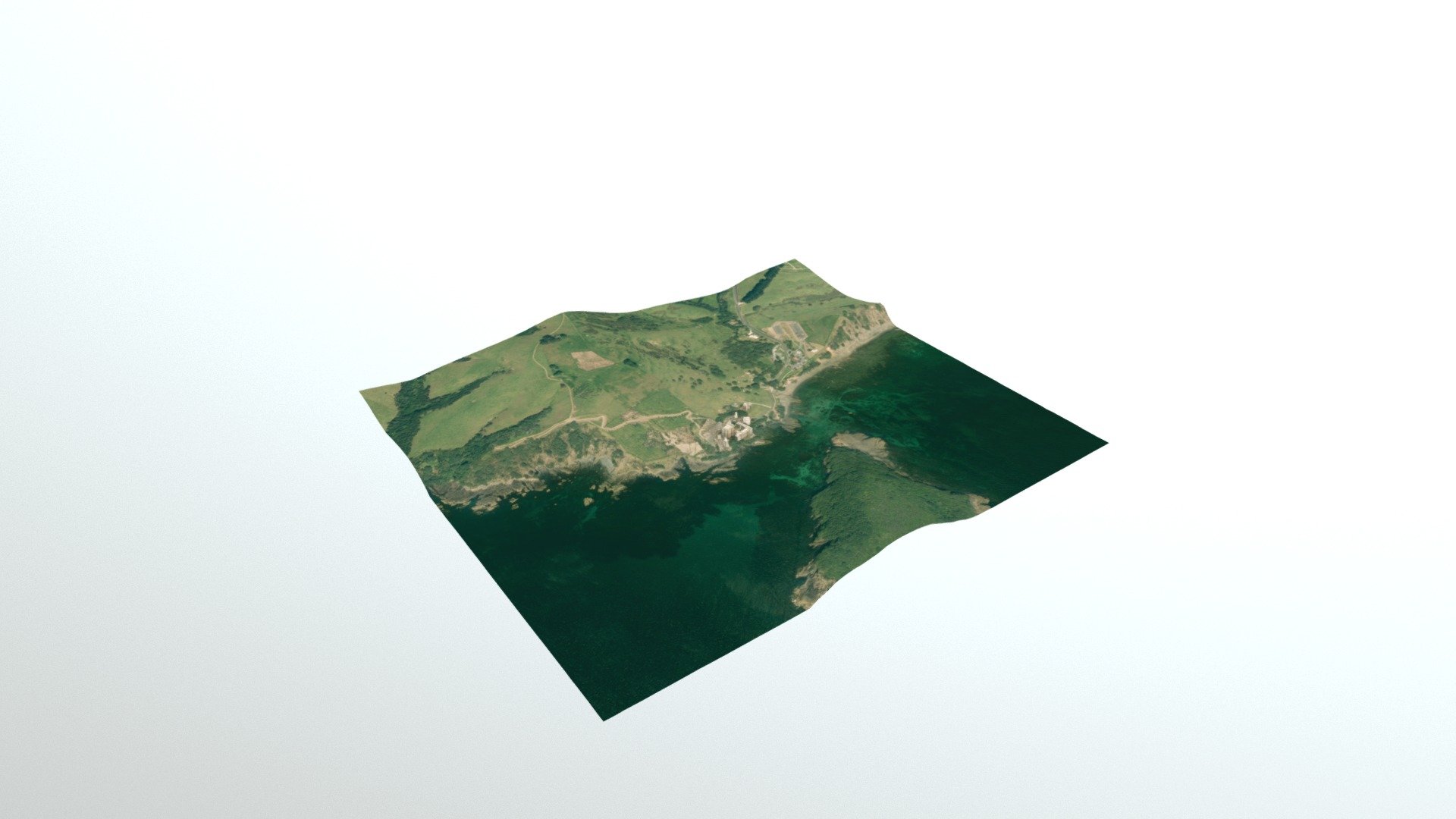
High-resolution aerial imagery of Auckland's rural areas is sourced from data.linz.govt.nz, specifically the "Auckland 05m Rural Aerial Photos 2010-2012" dataset. In addition to this visual data, a digital elevation model (DEM) with an 8-meter resolution is also obtained from linz.govt.nz, courtesy of the "NZ 8m Digital Elevation Model 2012". Furthermore, building information is gathered from openstreetmap.org, utilizing the OpenStreetMap API to pinpoint specific locations such as -36.26952 latitude and 174.79861 longitude at a zoom level of 19.
With this file you will be able to print Leigh with your 3D printer. Click on the button and save the file on your computer to work, edit or customize your design. You can also find more 3D designs for printers on Leigh.