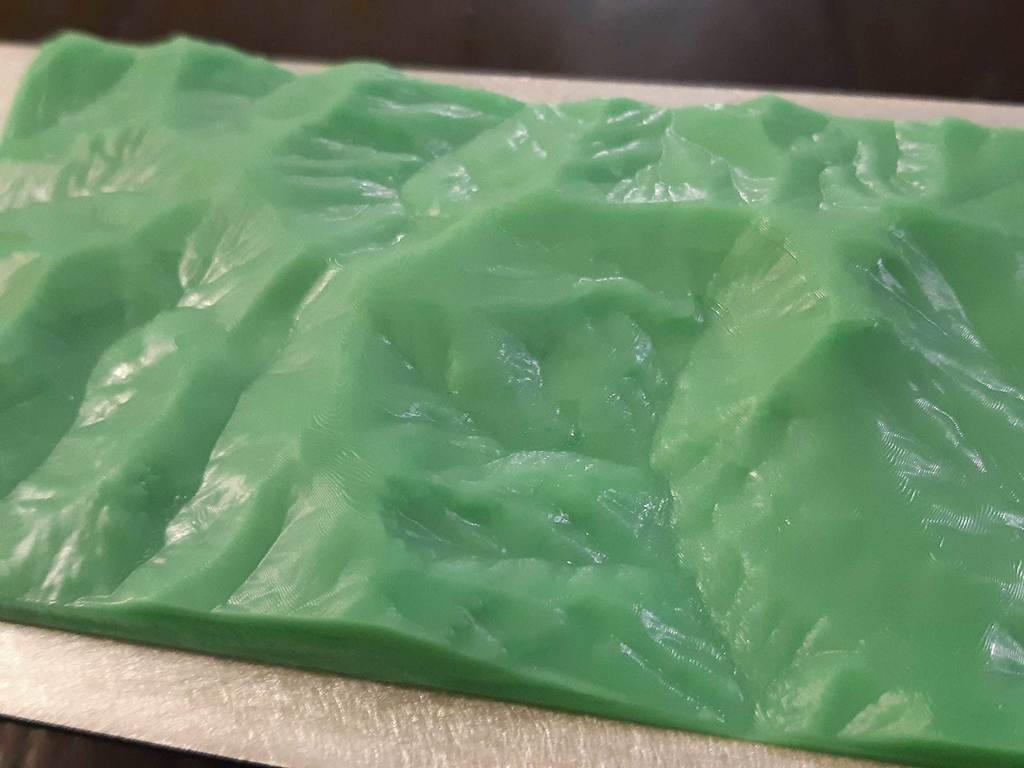
LiDAR (LAZ/LAS) to STL - topographic map model of Banks Peninsula New Zealand
thingiverse
I exported this section of New Zealand's Banks Peninsula using the free LiDAR to STL tools from https://equatorstudios.com/ Follow the tutorial @ https://equatorstudios.com/how-to-make-3d-printed-topographic-maps-and-terrains/ if you want to make your own!
Download Model from thingiverse
With this file you will be able to print LiDAR (LAZ/LAS) to STL - topographic map model of Banks Peninsula New Zealand with your 3D printer. Click on the button and save the file on your computer to work, edit or customize your design. You can also find more 3D designs for printers on LiDAR (LAZ/LAS) to STL - topographic map model of Banks Peninsula New Zealand.