Lidar Scan Terrain
sketchfab
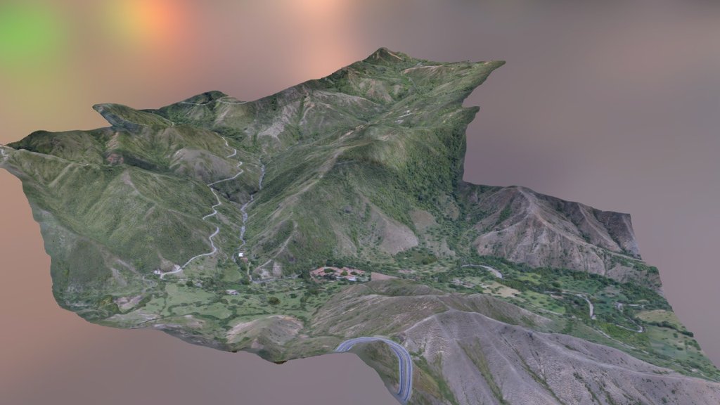
On the western side of the mountain range, 1,200 hectares have been meticulously surveyed to reveal an exceptional topographic map with a vast slope that mirrors the contours of a tranquil river valley.
Download Model from sketchfab
With this file you will be able to print Lidar Scan Terrain with your 3D printer. Click on the button and save the file on your computer to work, edit or customize your design. You can also find more 3D designs for printers on Lidar Scan Terrain.