Longs Peak Relief (Topographical) map
thingiverse
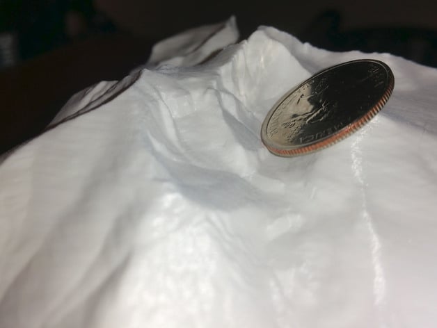
If my things brought you value, or saved you time, money, or a trip to the store and you'd like to let me know, you can leave me a tip using Thingiverse's "Tip Designer" button. I've enjoyed the ability to tip designers for the same reasons. A topo map of Long's Peak in Rocky Mountain National Park, Colorado, USA. Also visible are Mount Meeker, Mt. Lady Washington, Storm Peak, and Pagoda Mountain. Model is sized to present the popular keyhole route approach, starting from the east and looping toward the summit from the north.
With this file you will be able to print Longs Peak Relief (Topographical) map with your 3D printer. Click on the button and save the file on your computer to work, edit or customize your design. You can also find more 3D designs for printers on Longs Peak Relief (Topographical) map.