Makalu, Himalaya. China/Nepal
sketchfab
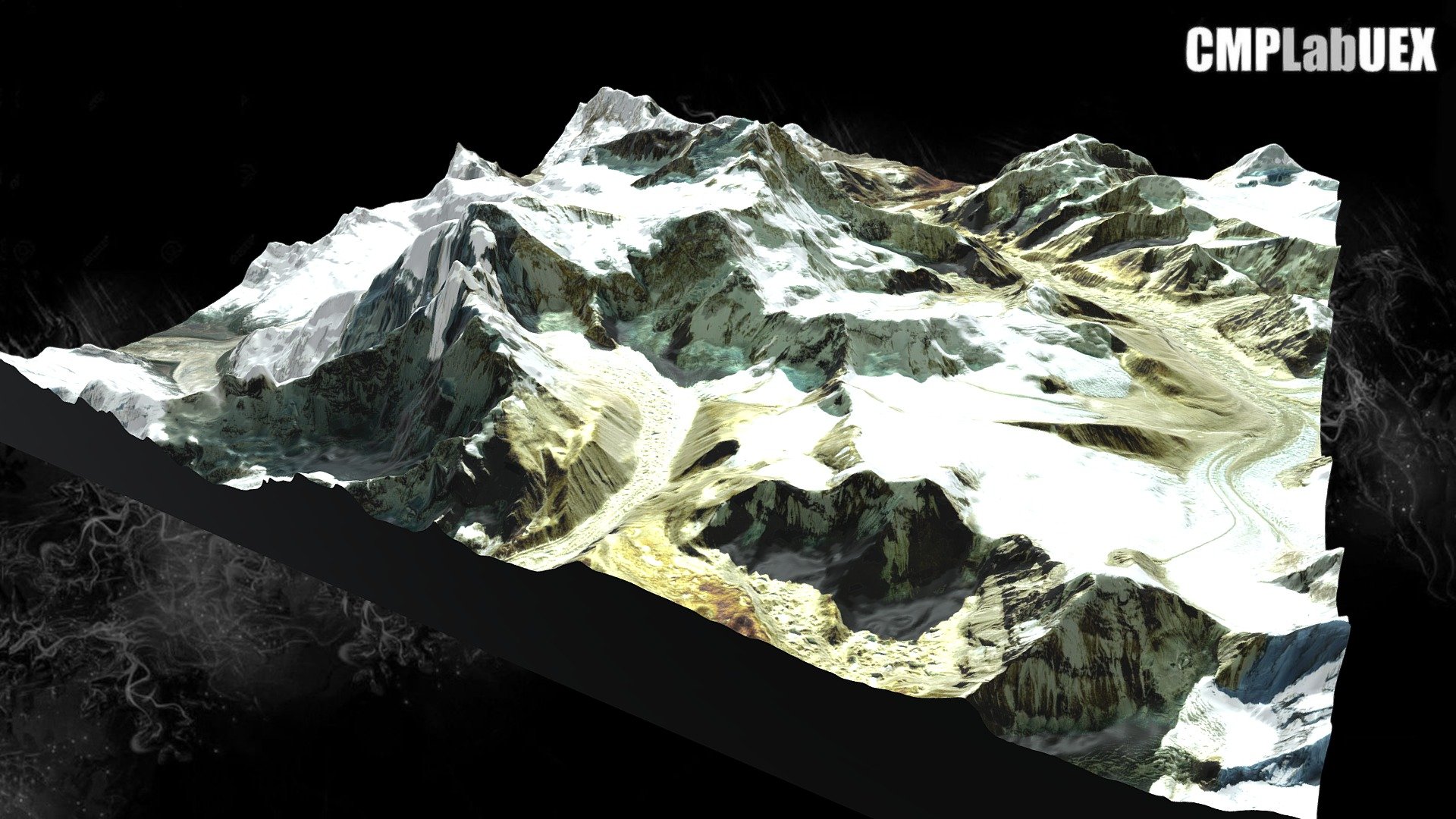
El Makalu, con 8463 m, es la quinta montaña más alta de la Tierra. Está en la zona Mahalangur del Himalaya, a 19 km al sureste del monte Everest, en la frontera entre China y Nepal [de Wikipedia] Modelo generado mediante QGIS y Qgis2threejs. Obra derivada de ALOS Global Digital Surface Model (AW3D30) e imagen Landsat del servicio World Imagery de ArcGIS online. Localización https://osm.org/go/zrfs6Utv-?layers=C&node=565159946 geo:27.8877,87.0898?z=14 ¿Cómo se hace? Descargar guía en https://tinyurl.com/y76md9bs
With this file you will be able to print Makalu, Himalaya. China/Nepal with your 3D printer. Click on the button and save the file on your computer to work, edit or customize your design. You can also find more 3D designs for printers on Makalu, Himalaya. China/Nepal.