Map of Europe
thingiverse
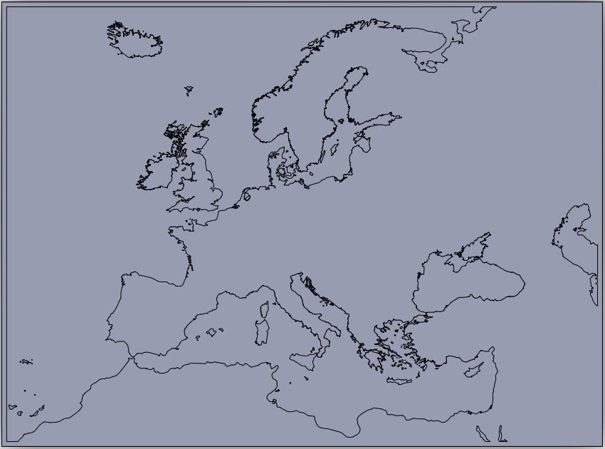
2680x1980mm map of Europe. I don't know if anyone has a printer big enough for this. I have a smaller and less detailed version and its lack of substantial detail is what motivated me to make this larger more accurate version. Some of the islands I have in the Irish Sea and in the Isles off western Scotland were actually misidentified text blurbs. Basically some of those islands are actually the names of other islands or cities that I thought were oddly stringy islands, it can be hard to tell when the map I'm using is that low res. Some of the islands in the Baltic, Gotland especially I'm not totally happy with, and Holland I feel is, just like in the aforementioned other map, retarded. As to why my model won't load right: It's outside of the bounds of the viewer. As in it's too big for the site viewer.
With this file you will be able to print Map of Europe with your 3D printer. Click on the button and save the file on your computer to work, edit or customize your design. You can also find more 3D designs for printers on Map of Europe.