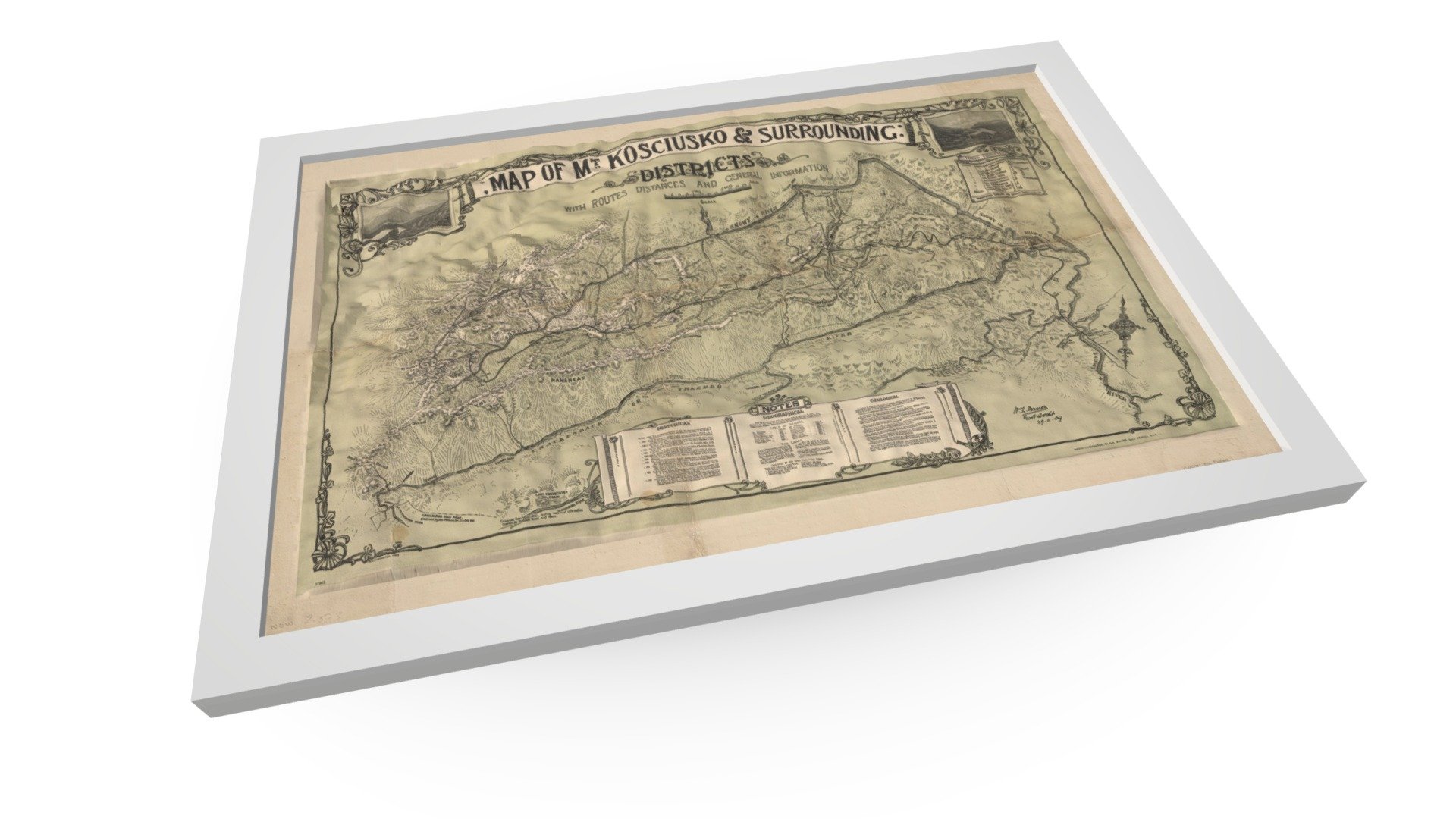
Map of Mt. Kosciusko & surrounding districts
sketchfab
The Map of Mt. Kosciusko is an experiment in combining accurate height data with a historical map, while also exploring the history and significance of the region. It is inspired by a model developed by Thomas Flynn. The original historical map is available through the National Library of Australia.
Download Model from sketchfab
With this file you will be able to print Map of Mt. Kosciusko & surrounding districts with your 3D printer. Click on the button and save the file on your computer to work, edit or customize your design. You can also find more 3D designs for printers on Map of Mt. Kosciusko & surrounding districts.