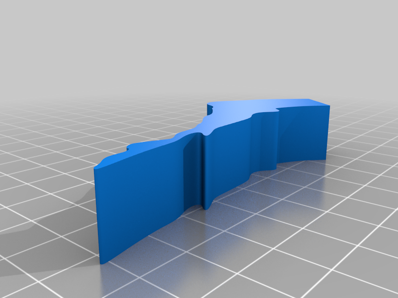
Mapa Polski - ukształtowanie terenu
thingiverse
Modele edukacyjne. Podział mapy Polski ze względu na ukształtowanie terenu. Każdy pas drukuj w innym kolorze:)
Download Model from thingiverse
With this file you will be able to print Mapa Polski - ukształtowanie terenu with your 3D printer. Click on the button and save the file on your computer to work, edit or customize your design. You can also find more 3D designs for printers on Mapa Polski - ukształtowanie terenu.