Mapping the Plough Soil
sketchfab
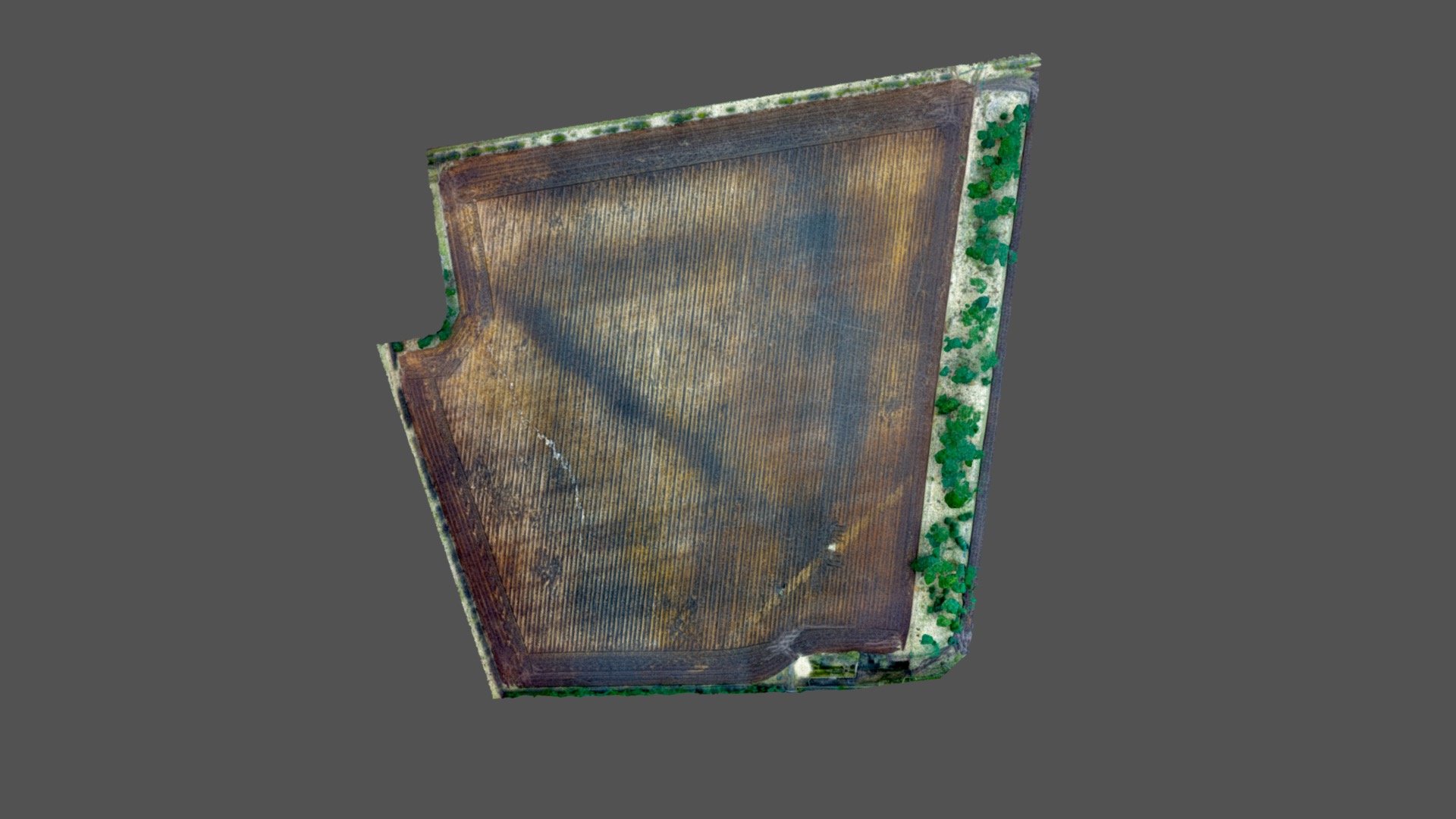
Experimental 3D model showcases extreme levels of plow damage on a 5-hectare field, constructed from 417 images captured using a DJI Phantom 4 Pro. Deep cultivation causes the most significant threat to buried archaeology in agricultural landscapes. In this case, contrasting black and yellow stripes appear due to the plow exposing underlying yellow natural sands and gravels, with dark stripes representing existing plow soil turned by the instrument. Introducing and mixing vast amounts of sterile sand into the plow soil will ultimately compromise its fertility and structure.
With this file you will be able to print Mapping the Plough Soil with your 3D printer. Click on the button and save the file on your computer to work, edit or customize your design. You can also find more 3D designs for printers on Mapping the Plough Soil.