Massif Central, France (LowPoly +NormalMap)
sketchfab
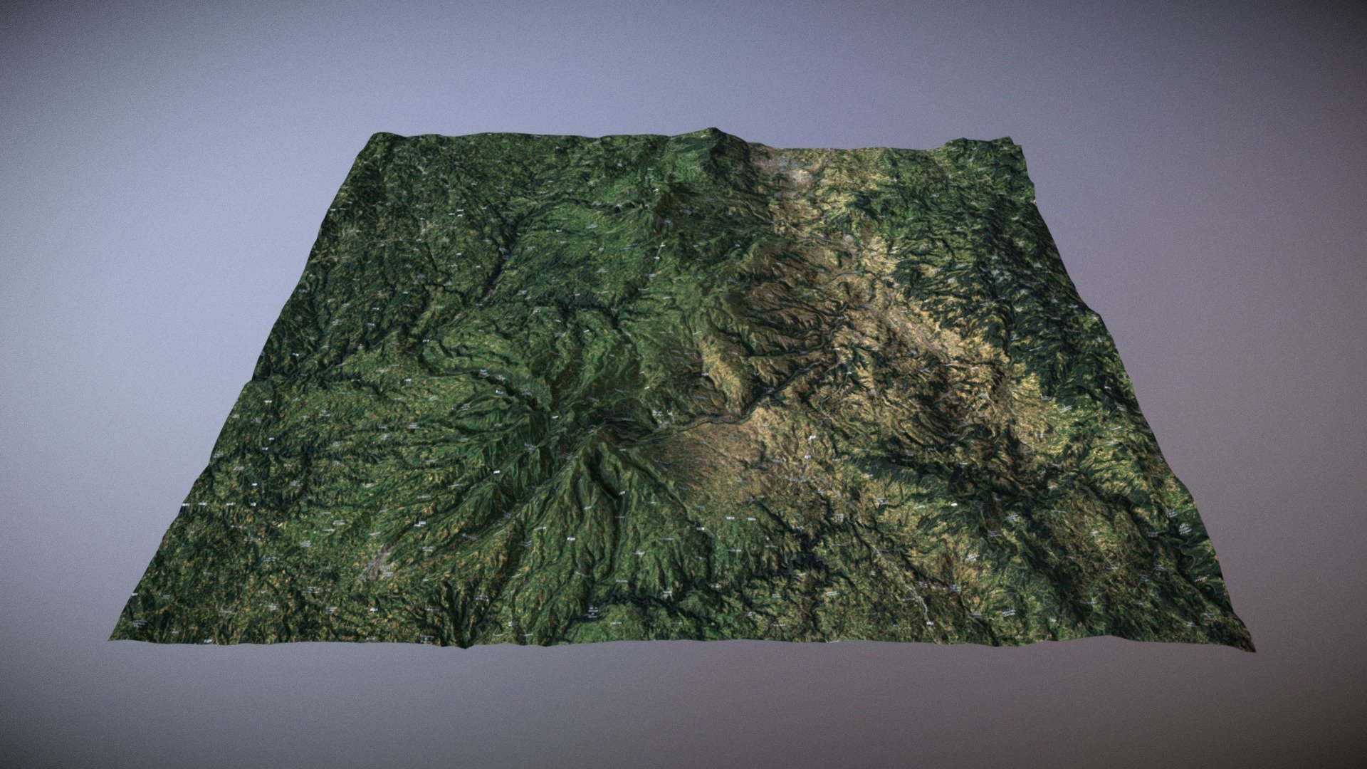
Generated with elevationapi.com Mesh data: ETOPO1 (2000m resolution) Normal map data: SRTM_GL1 (30m resolution) Imagery: MapBox Satellite Mesh is quite low res, but visuals are good thanks to a detailed normal map.
Download Model from sketchfab
With this file you will be able to print Massif Central, France (LowPoly +NormalMap) with your 3D printer. Click on the button and save the file on your computer to work, edit or customize your design. You can also find more 3D designs for printers on Massif Central, France (LowPoly +NormalMap).