Mount Everest
thingiverse
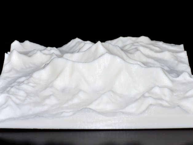
A topographical map of Mount Everest, generated using data from NASA's SRTM (Shuttle Radar Topography Mission), covers an area of approximately 15 miles square. The map was printed at a .27mm layer height with three shells and sparse infill (around 5%). Reducing the layer height further could enhance the appearance, while additional shells would prevent gaps in flat areas. For peak areas without blobs, suggestions are welcome. Additionally, to combat warping of the large flat base, adding ears to the corners is recommended: http://www.thingiverse.com/thing:38272
With this file you will be able to print Mount Everest with your 3D printer. Click on the button and save the file on your computer to work, edit or customize your design. You can also find more 3D designs for printers on Mount Everest.