Mount Jefferson
thingiverse
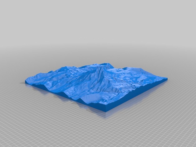
Mount Jefferson is the second highest mountain in Oregon and is part of the Cascade Volcanic Range. High Elevation: 3199m Low Elevation: 925m Area: 209 km2 Instructions This model was generated using a program that is currently being developed. It is based on the GMRT dataset (http://www.marine-geo.org/portals/gmrt/) and utilized the interface from GeoMapApp (http://www.geomapapp.org)
Download Model from thingiverse
With this file you will be able to print Mount Jefferson with your 3D printer. Click on the button and save the file on your computer to work, edit or customize your design. You can also find more 3D designs for printers on Mount Jefferson.