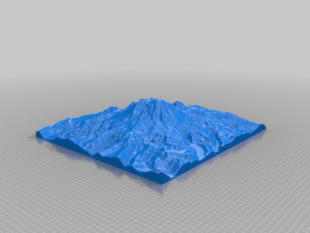
Mt. Rainier
thingiverse
Mount Rainier, found in Washington State, boasts an impressive elevation of 4,392 meters, while its lowest point measures 790 meters. Its area spans 341 square kilometers. The data for this information was derived from the GMRT dataset (http://www.marine-geo.org/portals/gmrt/) and obtained via GeoMapApp interface (http://www.geomapapp.org).
Download Model from thingiverse
With this file you will be able to print Mt. Rainier with your 3D printer. Click on the button and save the file on your computer to work, edit or customize your design. You can also find more 3D designs for printers on Mt. Rainier.