Mt Shasta 3D map
thingiverse
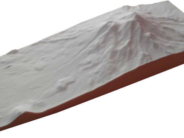
The elevation data for Mount Shasta, located in California, is illustrated through a model; this was made using Maperitive, Sketchup, Meshlab, and Netfabb.
Download Model from thingiverse
With this file you will be able to print Mt Shasta 3D map with your 3D printer. Click on the button and save the file on your computer to work, edit or customize your design. You can also find more 3D designs for printers on Mt Shasta 3D map.