Nasty 9 (N9) Trail Race animated 3D course map
sketchfab
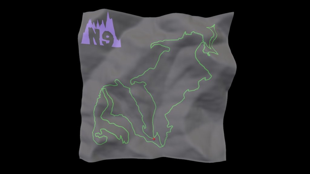
3d map of the Nasty9 Trail Race course on the Brushy Hills of Lexington, Virginia (USA). The 9-mile course has 2871 feet of elevation loss and gain and the vertical exaggeration of the scene is 3X. The 2017 edition of the race will be held on Saturday, October 21, at 8:30 a.m.; for more information about the race, please visit: http://www.nasty9trailrun.org/ To see the 3d model for the 4-mile course, see https://skfb.ly/6tYOL
Download Model from sketchfab
With this file you will be able to print Nasty 9 (N9) Trail Race animated 3D course map with your 3D printer. Click on the button and save the file on your computer to work, edit or customize your design. You can also find more 3D designs for printers on Nasty 9 (N9) Trail Race animated 3D course map.