North Idaho Basin Topo Map
prusaprinters
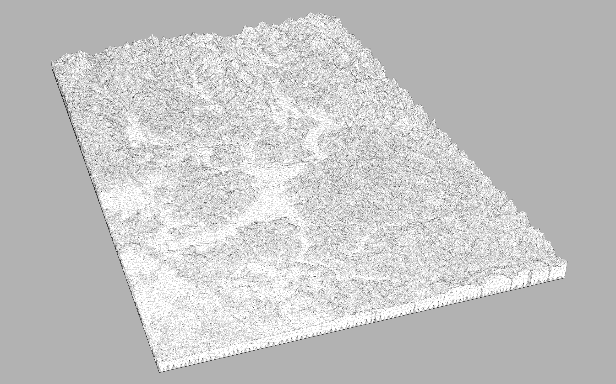
<p>This is a highly detailed model of Kootenai County and the surrounding lakes, spanning North to the Canadian border and South to the tip of Lake Coeur D'Alene. This model encompasses lake Coeur D'Alene, Hayden Lake, Lake Pend Oreille, and Priest Lake, as well as surrounding mountain ranges.</p> <p>The print file is for PLA, scaled to the build volume of the MK3S, with dynamic layer height enabled such that the base is printed at 0.3mm layer height and the topographical features are largely 0.07mm layer height for maximum detail.</p>
With this file you will be able to print North Idaho Basin Topo Map with your 3D printer. Click on the button and save the file on your computer to work, edit or customize your design. You can also find more 3D designs for printers on North Idaho Basin Topo Map.