NZ Bathymetry
thingiverse
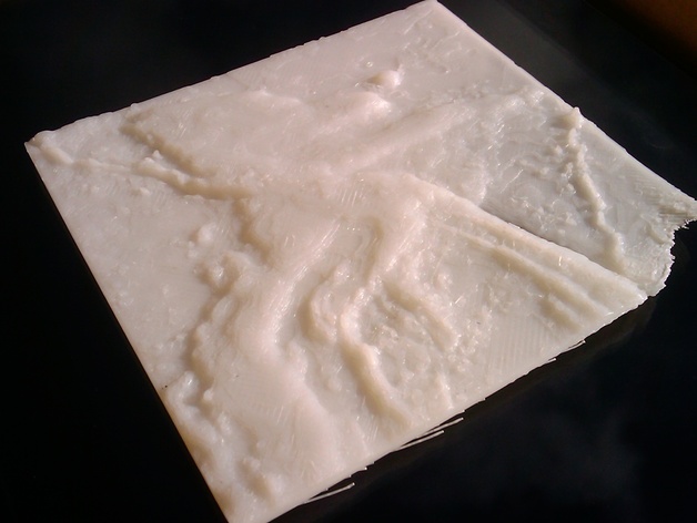
The sea floor elevation around NZ. This printed well, apart from lifting at one corner. It shows the general contours well as well as the little islands and seamounts. After printing this I realised that this elevation is a mirror image. At some point I'll get a corrected file uploaded, until then you will need to mirror the print before printing. Instructions I have been playing with ways to make a printable model of New Zealand locations. I've included a brief description of the workflow for anyone else who may be interested (including myself in a few months when I've forgotten how I did it). I got the height information from Koordinates.com (https://koordinates.com/layer/1721-new-zealand-250m-bathymetry-grid-2008/) This gave me two huge TIFF files. I used Photoshop CS6 to paste the two datasets together and scale them down to 15%. Then I used the Create New 3D Object -> Mesh From Depth Map -> Plane and exported the result as an obj. Then I used Meshmixer: Select -> Edit -> Extrude -> z axis to create the printable. One problem with this method is that I have not found a way of setting the VE (vertical exaggeration) which is fine if you just want a rough representation, not so good if you want it to be faithful to the real world.
With this file you will be able to print NZ Bathymetry with your 3D printer. Click on the button and save the file on your computer to work, edit or customize your design. You can also find more 3D designs for printers on NZ Bathymetry.