Ordnance Survey Triangulation Pillar (Trig Point) & Base
myminifactory
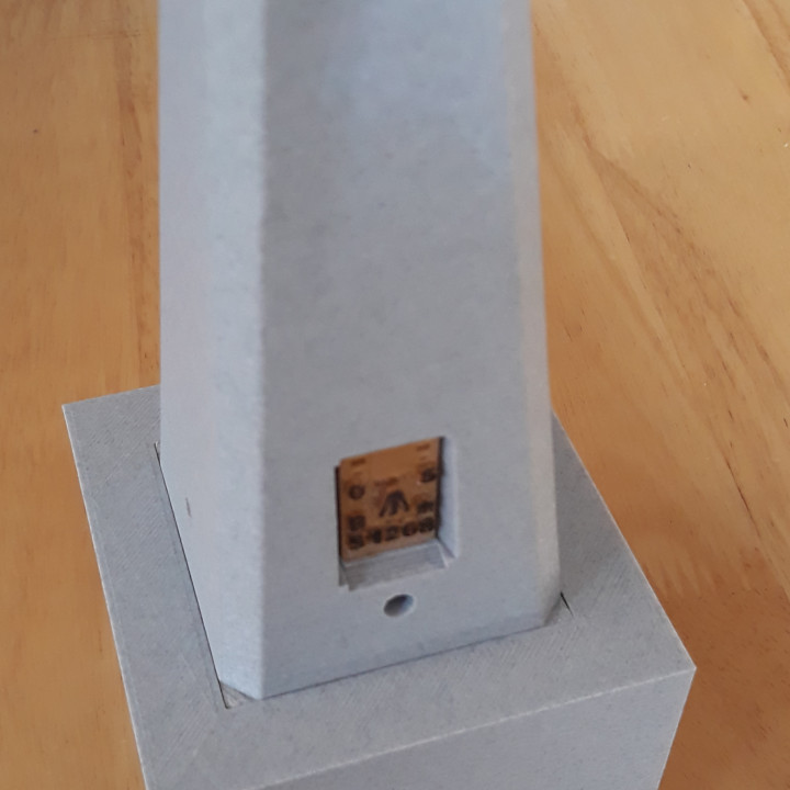
This is a model (1/10 scale) Of a British Ordnance Survey Triangulation Pillar, or Trig Point as they are more commonly known. Over 6500 of these pillars were constructed an prominent mountains, hills, places etc. to allow the accurate mapping of Britain in the 1930s & 1950s. Many survive to this day and are a welcome sign for walkers, as a sign that they have reached a summit! The highest Trig Point is on Ben Nevis and the lowest is in Norfolk, -1 meter below sea level. Many have been destroyed due to erosion, building works etc. Most of the pillars followed a standard concrete design by Brigadier Martin Hottine. It is Hottine's design I have model here. The base is also to 1/10 scale and if printed, it can be used to turn the Trig Point into a small keep-sake box, maybe for rings etc. I have also modelled a few differing 'Flush Brackets' which fit into the recess of the pillar. The picture of the 3d printed model shown is the one from my local hill, Liddington. and the photos of the real Trig Point are of the one on Steep Holm Island in the Bristol Channel.
With this file you will be able to print Ordnance Survey Triangulation Pillar (Trig Point) & Base with your 3D printer. Click on the button and save the file on your computer to work, edit or customize your design. You can also find more 3D designs for printers on Ordnance Survey Triangulation Pillar (Trig Point) & Base.