Oregon
thingiverse
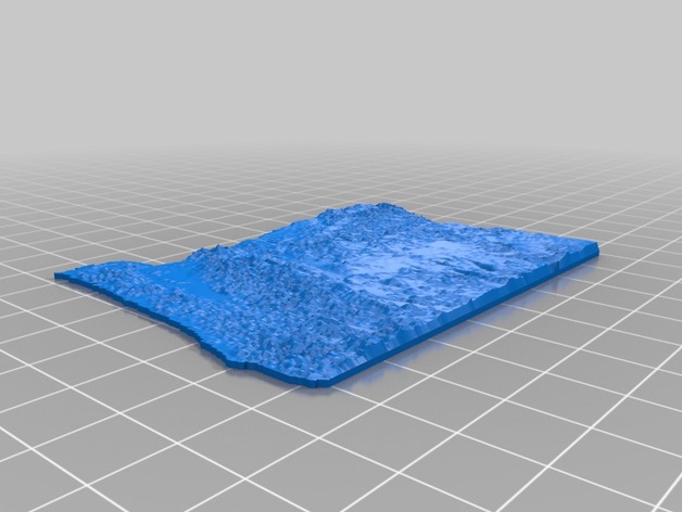
This is a 1:10M scale of SRTM 90M elevation data with a 10x vertical exaggeration. This is way harder to do that it should be. I'll document it when I figure it out and get a decent printable model. Instructions This is a rough outline of the steps used to create the file, mostly from the following guide: https://dl.dropboxusercontent.com/u/11089897/3druckench/maps_to_3D.pdf Download 3DEM from http://freegeographytools.com/2009/3dem-website-is-gone-but-3dem-still-available-here Open 3DEM: [File] -> [Load Terrain Model] -> GeoTiff DEM (tif) -> Load your geotiff (from the Thing files) [File] -> [Save as USGS ASCII DEM] -> Save as USGS DEM File (*.dem) Download AccuTrans3D fromhttp://www.micromouse.ca/downloads.html Open AccuTrans3D: [File] -> [Open DME as] -> [USGS 1-degree (ASCII) (*.dem)] -> Open file. [Dem] -> [Convert to 3D (less water)] Vertex Interval, “Pick - 10” (something less than 500k vertices). Control Face Creation, “Drop Faces at Sea Level” “OK” [Tools_1] -> [Adjust Object (Mirror, Rotate, Scale, Translate)] Scale -Position: -- x: 0.0001, y: 0.000141, z: 0.001 -- [Scale] -- [Center on X and Y axis with Z at zero] [Tools_1] -> [Extrude Pseudo 3D surface] Thickness: 1 “Flat Bottom” [Extrude] “OK” [Tools_1] -> [Adjust Object (Mirror, Rotate, Scale, Translate)] Snap to Ground X90 “OK” [File] -> [Save As] -> [StereoLithography (ASCII)(*.stl)]
With this file you will be able to print Oregon with your 3D printer. Click on the button and save the file on your computer to work, edit or customize your design. You can also find more 3D designs for printers on Oregon.