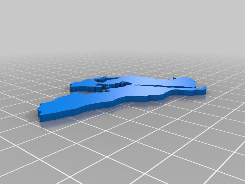
Osmanlı İmparatorluğu Haritası ( ottoman empire map )
thingiverse
1299-1922 yılları arasında varlığını sürdürmüş Türk ve İslam devleti. Doğu Avrupa, Güneybatı Asya ve Kuzey Afrika'ya kadar topraklarını genişletmiş ve 16. yüzyılda dünyanın en güçlü imparatorluğu halini almıştır. The Turkish and Islamic state that existed between 1299 and 1922. Eastern Europe, Southwest Asia and North Africa, and became the world's strongest empire in the 16th century.
Download Model from thingiverse
With this file you will be able to print Osmanlı İmparatorluğu Haritası ( ottoman empire map ) with your 3D printer. Click on the button and save the file on your computer to work, edit or customize your design. You can also find more 3D designs for printers on Osmanlı İmparatorluğu Haritası ( ottoman empire map ).